HAMM (DE) - 2020-11-02 20:04:19
- Magnitude 2.1
Last update : 2021-01-02 12:37:40 Belgian time
Main parameters
| Date and time |
2020-11-02 20:04:19 UTC
2020-11-02 21:04:19 Belgian time |
| Type | Known induced event |
| Magnitude | ML 2.1 |
| Region | HAMM (DE) |
| Epicentral coordinates | 51.613° N, 7.763° E Uncertainty ± 3.5 km |
| Depth of hypocenter | 4.0 ± 2.0 km |
Data source : ROB (Royal Observatory of Belgium)
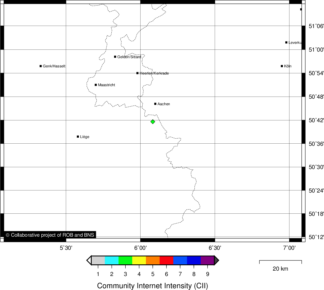
Location map
Quake measurements
Measurements by the Belgian seismic network
| Station | Epicentral distance (km) |
P-Wave arrival (hh:mm:ss.ss) | S-Wave arrival (hh:mm:ss.ss) | Maximal ground displacement (nm) |
|
|---|---|---|---|---|---|
| Code | Place | ||||
| MRG | MONT RIGI | 170 | 20:04:46.92 | 20:05:07.52 | - |
| MEMH | MEMBACH | 166 | 20:04:47.07 | 20:05:06.94 | - |
| HOU | HOUVEGNEZ | 187 | 20:04:49.11 | 20:05:12.37 | - |
Measurements by the Dutch seismic network of KNMI (Royal Netherlands Meteorological Institute)
| Station | Epicentral distance (km) |
P-Wave arrival (hh:mm:ss.ss) | S-Wave arrival (hh:mm:ss.ss) | Maximal ground displacement (nm) |
|
|---|---|---|---|---|---|
| Code | Place | ||||
| WTSB | WINTERSWIJK NEW | 77 | 20:04:32.65 | 20:04:43.45 | - |
| HGN | HEIMANSGROEVE | 159 | 20:04:45.09 | 20:05:04.42 | - |
| VKB | VALKENBURG | 161 | 20:04:46.88 | 20:05:06.28 | - |
Macroseismic
Data
| Total number of responses | 1 |
|---|---|
| Intensity III | 1 |
Attention! The intensities derived from the macroseismic enquiry are raw unverified data.
Map
Data policy
Please read on this notice to learn more about our data policy.